Great Himalayan National Park map

Exploring the Enchanting Geography of Great Himalayan National Park
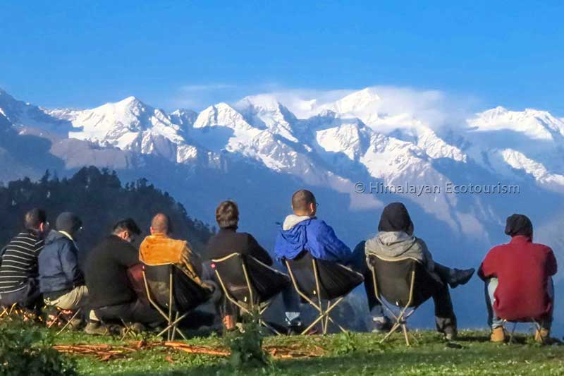
Nestled amidst the pristine lap of the towering Himalayas, the Great Himalayan National Park stands as an emblem of natural grandeur and biological diversity. Stretching across the northern Indian state of Himachal Pradesh, this national park is a mesmerizing tapestry of geographical marvels that have captured the hearts and minds of nature enthusiasts and explorers alike. Spanning approximately 1,171 square kilometers, the park’s geography encompasses a spectrum of ecosystems, elevations, and natural wonders that converge to create a haven for biodiversity unlike any other.
The park’s geography is profoundly shaped by its location in the western Himalayan region. It is part of the Kullu District and lies between the latitudinal coordinates 31°25’30” to 32°00’50” North and longitudinal coordinates 77°05’50” to 77°45’50” East. This geographical positioning endows the park with a range of elevations that ascend from 1,500 meters to a staggering 6,110 meters at its highest point, atop the majestic peak of Rakti Sar. This variance in altitude is the cornerstone of the park’s ecological diversity and offers a plethora of niches for numerous species to thrive.
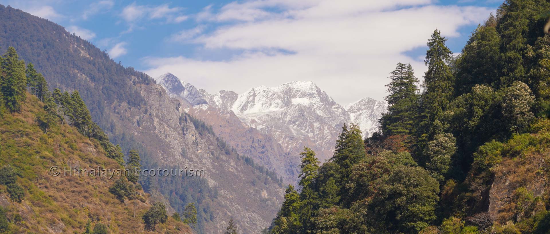
The Great Himalayan National Park is a sanctuary for an awe-inspiring array of flora and fauna, thanks to its distinctive geography. As one traverses through its different altitudinal zones, a distinct transformation in vegetation and wildlife unfolds. The lower zones, characterized by temperate forests, are dominated by oak, pine, deodar, and rhododendron trees. As the elevation increases, these forests give way to the alpine meadows known as ‘Thach,’ where vibrant wildflowers carpet the landscape during warmer months, painting the scenery with a riot of colors. The park’s geography thus creates a living staircase of ecosystems, nurturing diverse habitats that provide refuge to species like the Himalayan Tahr, Blue Sheep, Snow Leopard, and numerous species of pheasants and butterflies.
The park’s water bodies are an intrinsic component of its geography, significantly influencing its ecological balance. Crystal-clear rivers and streams originating from the glaciers of the surrounding peaks meander through the valleys, irrigating the landscape and nurturing diverse aquatic life. These watercourses not only provide sustenance to the park’s inhabitants but also enhance its scenic beauty. The Tirthan and Sainj rivers, both designated as protected under the UNESCO World Heritage Site status bestowed upon the park, play a pivotal role in shaping the park’s physical and ecological attributes.
Glaciers, another integral facet of the park’s geography, act as custodians of freshwater resources and contribute to the captivating landscape. The glaciers feed the park’s rivers and support the delicate balance of its ecosystems. The meltwater from these glaciers not only sustains the park’s aquatic life but also serves as a lifeline for downstream communities. The Park is home to several glaciers, including the glaciers of the Tirthan, Sainj, and Jiwa Nal watersheds, that etch their presence on the geography with their icy serenity.
Great Himalayan National Park’s geography is an intricate dance of geological formations that have evolved over eons. The park is predominantly composed of metamorphic rocks, which bear witness to the tectonic forces that have shaped the Himalayas over millions of years. The rugged terrain, carved by these geological processes, provides an enchanting backdrop for explorers and researchers seeking to unravel the secrets of Earth’s history
Geographical map of Great Himalayan National Park
A quick look at the geography of Great Himalayan National Park

Map of the GHNP
There are 3 major rivers that originates from the GHNP : Parvati, Sainj and Tirthan. Most of the tourist infrastructures for your visit to the Great Himalayan National Park are located in the Tirthan valley between Banjar and Gushaini.
Great Himalayan National Park trek map
This map shows you the main treks in the GHNP

Trekking map of the GHNP
The number of days mentionned on the map are the required number of days to reach the destination and to come back. There are many other treks that we offer. Please enquire.
Great Himalayan National Park – how to reach map
This map shows you the most common ways to reach the GHNP

HOW TO REACH THE GHNP
These are main ways to reach the GHNP overland.
The most common is the way followed by the Volvo buses coming from Delhi and going to Manali. It goes via Chandigarh, Rupnagar, Bilaspur, Mandi and then Banjar to reach the Tirthan valley or Sainj to reach the Sainj valley.
The alternate route is via Shimla and Jalori pass. It has more scenic streches compared to the first one but it is also longer in time distance.
Check this page for more information.
Links to other pages

Multi-day treks
Meet the mighty Himalayas and explore GHNP’s wilderness on our 2- to 10-day treks.
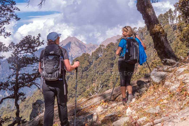
Day hikes
Enjoy the Himalayan nature and quaint villages in one day with one of our day hikes.